Drought Observatory: a Climate Service to improve environmental resilience
Contributed by Ramona Magno, IBIMET-CNR, Italy.
Drought is a creeping and complex phenomenon with different types of impacts that imply a general reduction of water availability and involve either energy or food sectors, and on a wider scale the ecosystems. Under a climate change framework, the increasing frequency of droughts and their extended persistence need to be accounted for, addressing both adaptation and mitigation strategies. Drought dynamics reveal a time gap between the onset of a drought event and the management of the drought emergency, but often this gap is too wide to effectively reduce the impacts. Moreover, drought information is frequently scattered and not integrated enough to support diverse users’ needs. Therefore, there is a need to increase preparedness through proactive solutions providing timely and simple information.
In other words, an integrated Drought Climate Service could fill the gap, as drought monitoring is key to increase better resilience and reduce the impacts of drought events. To be effective, a Climate Service should respond to different priorities and users’ needs and have a set of main requirements: information continuously updated and timely delivered, expandable platform and on-demand services, products adequate to the diverse users’ competencies and technical skills.
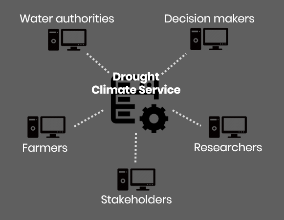
Following this approach, the Institute of Biometeorology of the National Research Council in Italy, developed the Drought Observatory. This service provides technical support to decision-makers, water authorities, researchers and stakeholders.
The Approach
The Drought Observatory is a web-based operational system – https://drought.climateservices.it – providing semi-automatic, detailed and timely information on drought events.
One of the main aspects behind the project is the Open Innovation approach; that is, Open Data, Open Source and Open Access. These concepts together with the expandability, the flexibility and the interoperability with other services constitute the pillars of the Drought Observatory.
The Indices
This ad hoc Climate Service integrates ground-based and satellite data through open source solutions and standard and interoperable services to produce vegetation and rainfall indices able to follow the occurrence and the evolution of a drought event.
In particular, the coupled rainfall-based and satellite-derived monitoring system allows the assessment of vegetation moisture and temperature conditions at different spatio-temporal scales. The analysis of vegetation performances related to temperature and moisture stress is made throughout the Vegetation Health Index (VHI), derived from the Terra-MODIS satellite products (250m NDVI-Normalized Difference Vegetation Index and 1km LST-Land Surface Temperature). Instead, the climate-based Standardized Precipitation Index (SPI) derived from 5km CHIRPS (Climate Hazards Group InfraRed Precipitation with Station) rainfall data, provide multiple time scale occurrence and duration of drought.
From research to drought operational service
Thanks to this interoperable Spatial Data Infrastructure (SDI) we are able to improve the dissemination of updated and customizable information, thus facilitating the transfer of research know-how to operational applications.
The technological infrastructure proposes an innovative approach of the geographic data flows (from the download of remote sensing and climatic data to the storage of final indices), and the related geoprocessing functions are integrated into a single environment. The Service-Oriented Architecture is based on Open Geospatial Consortium (OGC) standards. It is a database-centered architecture, with PostgreSQL as DataBase Management System. Moreover, advanced statistical procedures integrate R Procedural Language into PostgreSQL (PL/pgSQL) through PL/R wrapper.

Once the basic architecture is defined, several implementations are possible: input datasets and outputs can be increased or replaced with more detailed or locally suitable new data/models; new procedures of analysis can be easily integrated (also thanks to PL/R libraries) with a relatively low development workload.
In order to guarantee the access and use of the set of services, the Drought Observatory website is the point of access to drought information, data and services responding to different users’ needs. The Open Data section includes a complete catalogue (CKAN, GeoServer and PostgreSQL) with data and metadata in different formats (as GeoTIFF and AAIGrid) and standard interoperable services. The WebGIS is a custom Open Source Web Application integrating different datasets and sharing maps of drought indices.

The Drought Observatory service include also a “Monthly Bulletin” (at the moment developed only for Tuscany region) that provides monthly updates on drought current and future conditions and local impacts. Finally, the RESTFUL APIs are also available for data downloading and clipping to ensure interoperability.
Future developments will include new web processing services and customizable applications for agriculture and environmental monitoring.
References:
R. Magno, T. De Filippis, E. Di Giuseppe, M. Pasqui, L. Rocchi, B. Gozzini (2018). Semi-automatic Operational Service for Drought Monitoring and Forecasting in the Tuscany Region. Geosciences. 8(2), 48: 1-25 doi: 10.3390/geosciences8020049. ISSN: 2076-3262.
Team (in alphabetical order): Tiziana De Filippis, Edmondo Di Giuseppe, Ramona Magno, Massimiliano Pasqui, Elena Rapisardi, Leandro Rocchi.
Contacts:
0 comments